 JustRide.me
Russell-Brasstown National Scenic Byway loop Verified route
North (Northeast GA) · Robertstown (GA-75/GA-75 Alt jct, N of Helen) → Robertstown (loop)
GA-17/75 N; GA-180 W; GA-180 Spur to Brasstown Bald (out & back); GA-180; GA-348 S; GA-75 Alt
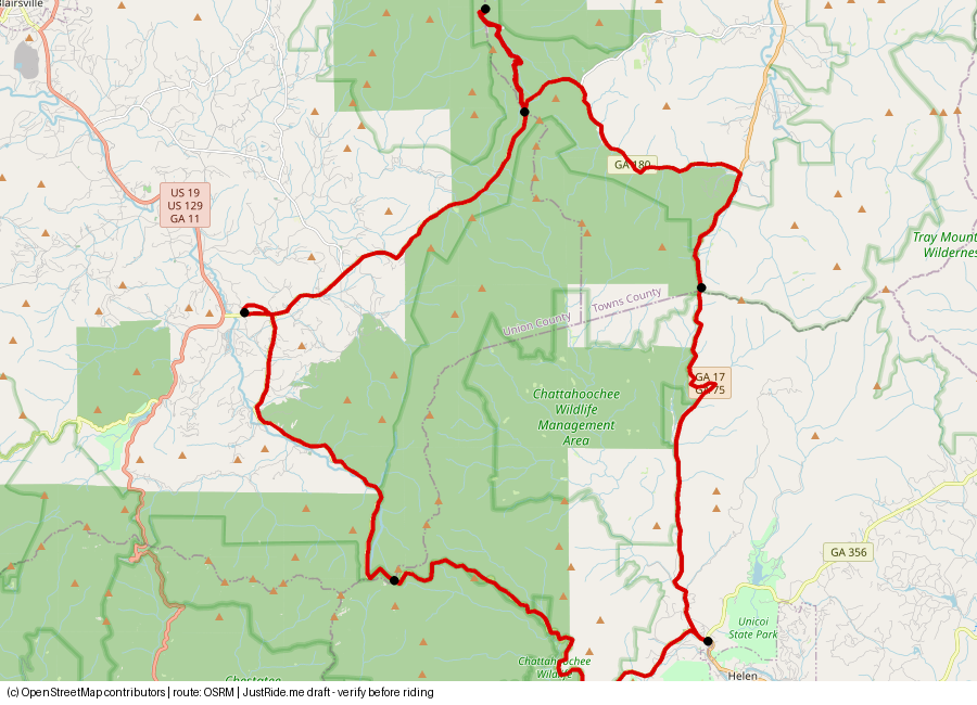
Published: 40.6 (FHWA 40.64; USFS 40; GDOT 41) · Our track: 46.5 mi
⚠ Our track includes the Brasstown Bald spur out and back, so it is longer than the published byway length.
Download GPXDownload KMLOpen in Google Maps ↗
Caveats: USFS: allow at least 3 hours. Brasstown Bald spur is narrow/winding with parking fee admission $10/person 16+ (incl. shuttle), $6 after hours, kids 15 and under free (USFS page checked 2026-10-31).
Highlights
Our own summaries. Timestamps come from public captions and are linked only where the caption clearly supports the highlight.
- Official stops listed by the Forest Service: Dukes Creek Falls (2.2-mile round-trip trail); views of Mount Yonah's cliff face; Raven Cliffs Wilderness trail; the Appalachian Trail crossing at Hogpen Gap; the Brasstown Bald summit and visitor center; Smithgall Woods State Park; Andrews Cove Campground on GA-75; Unicoi State Park; Anna Ruby Falls (0.4-mile paved path); Helen for food. Source: source
- Brasstown Bald: $10 per person age 16+ including the shuttle ($6 after hours); summit trail is 0.6 mi, paved and steep; observation deck. Source: USFS page (checked 2026-10-31): source
- Fall weekends bring gridlock on the spur; the creator advises going on a weekday. Salty Old Biker
Rider videos
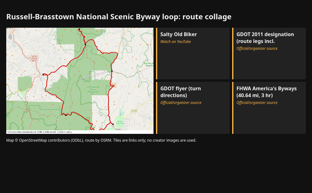
Route collage
Sources
- GDOT 2011 designation (route legs incl. 180 Spur): source
- GDOT flyer (turn directions): source
- FHWA America's Byways (40.64 mi, 3 hr): source
- USFS (roads, allow 3 hr): source
- Dealer: Killer Creek Harley-Davidson (recommends Russell/Brasstown rides): source
Credits
- map.png: our render, © OpenStreetMap contributors (ODbL), route OSRM.
- Link tile: Salty Old Biker. Link only. Using their thumbnails or frames would need creator permission.
- Link tile: GDOT 2011 designation (route legs incl. . Link only. Using their thumbnails or frames would need creator permission.
- Link tile: GDOT flyer (turn directions). Link only. Using their thumbnails or frames would need creator permission.
- Link tile: FHWA America's Byways (40.64 mi, 3 hr). Link only. Using their thumbnails or frames would need creator permission.
Map © OpenStreetMap contributors (ODbL); route drawn with OSRM. Videos belong to their creators. Always check roads and conditions before riding. Status: Verified route.