 JustRide.me
Richard B. Russell Scenic Highway (GA-348) Needs check
North (Northeast GA) · GA-75 Alt near Robertstown/Helen → GA-180 near Choestoe
GA-348 entire length (via Hogpen Gap)
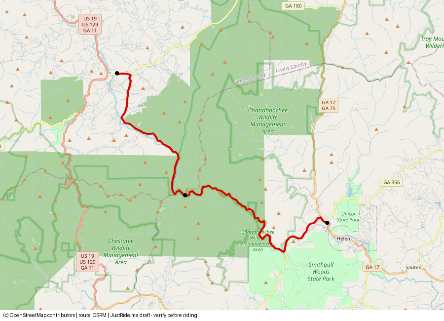
Published: not stated as standalone (part of byway); verify · Our track: 17.2 mi
Download GPXDownload KMLOpen in Google Maps ↗
Caveats: Steep grades on GA-348 (verify). Dealer page describes curves as gentle.
Highlights
Our own summaries. Timestamps come from public captions and are linked only where the caption clearly supports the highlight.
- Hogpen Gap: Appalachian Trail crossing (USFS byway page). Source: source
- Clip of the downhill run toward Helen (description only; no narration). Paul K
- Ride from Vogel State Park to Hogpen Gap: title only, transcript not reviewed – verify. Tejesh Chowdary
- The creator calls it heavily patrolled (opinion). MikeE RideWNC
Rider videos
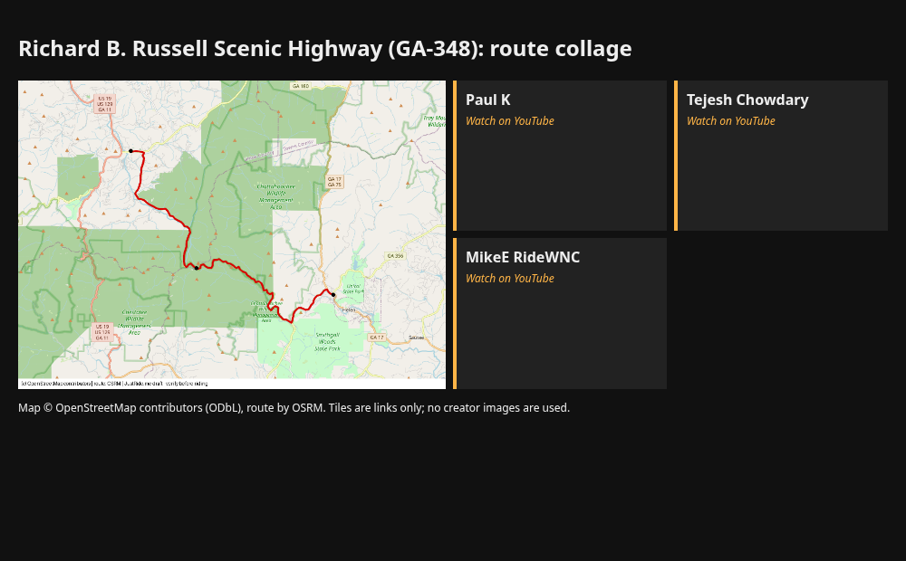
Route collage
Sources
- GDOT designation (348 = byway leg): source
- sixgap.com (Hogpen Gap 3,480 ft; avg 7% grade 7+ mi, max 15% on GA-348 per route-site text seen in search - verify): source
- YouTube Paul K: source
- YouTube Tejesh Chowdary (Vogel SP to Hogpen Gap): source
- Dealer: Killer Creek H-D: source (calls it 41 miles - that is the full byway; verify)
Credits
- map.png: our render, © OpenStreetMap contributors (ODbL), route OSRM.
- Link tile: Paul K. Link only. Using their thumbnails or frames would need creator permission.
- Link tile: Tejesh Chowdary. Link only. Using their thumbnails or frames would need creator permission.
- Link tile: MikeE RideWNC. Link only. Using their thumbnails or frames would need creator permission.
Map © OpenStreetMap contributors (ODbL); route drawn with OSRM. Videos belong to their creators. Always check roads and conditions before riding. Status: Needs check.