 JustRide.me
Georgia Triangle / Suches 'Cooler Run' loop Verified route
North (North-central GA) · Suches (Two Wheels of Suches) → Suches (loop)
GA-60 S (Woody Gap) to Stonepile Gap; US-19 to Turners Corner; US-129 N over Neels Gap; GA-180 Wolf Pen Gap Rd back to Suches
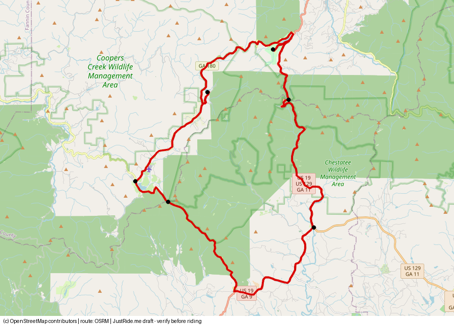
Published: 35 · Our track: 37.8 mi
Download GPXDownload KMLOpen in Google Maps ↗
Caveats: GA-180 is the tightest/most technical leg (Rider Magazine).
Highlights
Our own summaries. Timestamps come from public captions and are linked only where the caption clearly supports the highlight.
- Wolf Pen Gap (GA-180): posted "sharp curves next 5 miles" sign and 10 mph hairpins after Lake Winfield Scott. Sign 9:59; 10 mph limit 12:13. The Two-Wheeled Traveler
- Neels Gap store (snacks, hiking gear, drinks) and a lookout hike behind it; Blood Mountain has faster sweepers. Horseshoe signs 3:46; Blood Mountain favorite 2:48. Store: not available – verify. WattDatBikeDo
- Wolf Pen Gap Country Store in Suches; Two Wheels of Suches serves breakfast; creator warns of speed enforcement (opinion, verify). Store 7:10; enforcement 2:25; breakfast: not available – verify. MikeE RideWNC
- Appalachian Trail crossing on GA-60; Zion Baptist Church on GA-180. AT 4:10; church 8:20. The Two-Wheeled Traveler
Rider videos
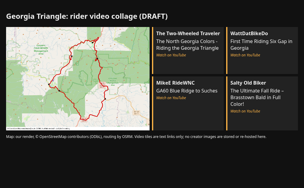
Route collage
Sources
- Two Wheels of Suches (lodge's own route page: turns + 35 mi): source
- Rider Magazine 2024 (US-19, GA-60, GA-180 triangle): source
- YouTube The Two-Wheeled Traveler: source
- Dealer context: Mall of Georgia Indian Motorcycle IMRG 2061 runs monthly group rides (no route published): source
Credits
- map.png: our own render. © OpenStreetMap contributors (ODbL), route by OSRM.
- Tile: link only to "The North Georgia Colors - Riding the Georgia Triangle" by The Two-Wheeled Traveler source No image used. Using their thumbnail or frames would need permission.
- Tile: link only to "First Time Riding Six Gap in Georgia" by WattDatBikeDo source No image used. Using their thumbnail or frames would need permission.
- Tile: link only to "GA60 Blue Ridge to Suches" by MikeE RideWNC source No image used. Using their thumbnail or frames would need permission.
- Tile: link only to "The Ultimate Fall Ride – Brasstown Bald in Full Color!" by Salty Old Biker source No image used. Using their thumbnail or frames would need permission.
Map © OpenStreetMap contributors (ODbL); route drawn with OSRM. Videos belong to their creators. Always check roads and conditions before riding. Status: Verified route.