 JustRide.me
Six Gap figure-eight Needs check
North (Northeast GA) · Suches → Suches (loop)
South loop: GA-60, US-19/129 (Woody and Neels Gaps), GA-180 Wolf Pen; North loop: GA-180 (Jacks Gap), GA-75/17 (Unicoi Gap), Helen, GA-348 (Hogpen Gap); 3-mi US-129 connector
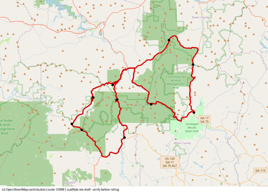
Published: 77 (south 35, north 38) · Our track: 84.1 mi
⚠ Our track is about 9% longer than the published 77 mi – within 10%, check before riding.
Download GPXDownload KMLOpen in Google Maps ↗
Caveats: Speed limits 25-45 mph, limited passing; some 3-lane passing sections on US-129 and GA-75 (sixgap.com). Track fixed 2026-10-31: doubled connector removed; 2026-11-01 off-route Helen/Choestoe waypoints removed.
Highlights
Our own summaries. Timestamps come from public captions and are linked only where the caption clearly supports the highlight.
- Blood Mountain was the creator's favorite (faster sweepers); Wolf Pen is technical, with horseshoe signs and 15-20 mph turns. Neels Gap store and lookout. Blood Mountain 2:48; horseshoe signs 3:46; Neels Gap: not available – verify. WattDatBikeDo
Rider videos
Route collage
Sources
- sixgap.com route site (77 mi, gap elevations, 25-45 mph limits): source
- YouTube WattDatBikeDo: source
Credits
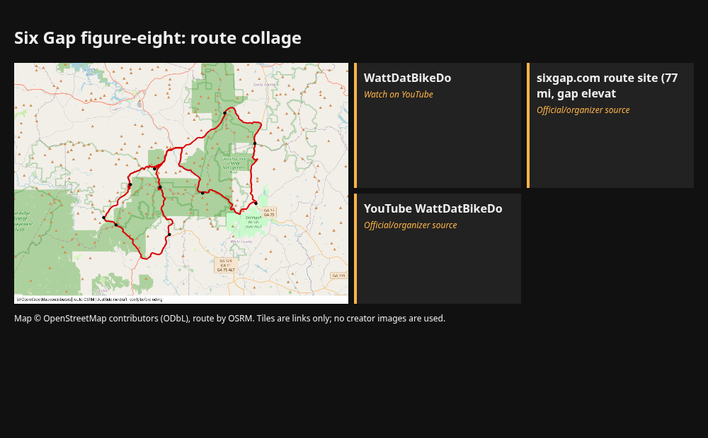
- map.png: our render, © OpenStreetMap contributors (ODbL), route OSRM.
- Link tile: WattDatBikeDo. Link only. Using their thumbnails or frames would need creator permission.
- Link tile: sixgap.com route site (77 mi, gap elevat. Link only. Using their thumbnails or frames would need creator permission.
- Link tile: YouTube WattDatBikeDo. Link only. Using their thumbnails or frames would need creator permission.
Map © OpenStreetMap contributors (ODbL); route drawn with OSRM. Videos belong to their creators. Always check roads and conditions before riding. Status: Needs check.