 JustRide.me
Ridge & Valley Scenic Byway Verified route
North (Northwest GA) · US-27 at GA-156 junction (official start) → same (loop)
US-27 NW 10 mi; Gore-Subligna Rd NE 8 mi to Subligna; East Armuchee Rd 10 mi to Villanow; GA-136 E 0.5 mi; Furnace Creek/Pocket Rd S 3 mi; Everett Springs Rd; Floyd Springs Rd; GA-156 SW 3 mi to US-27
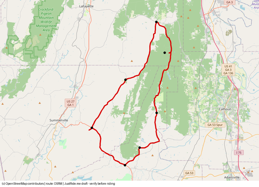
Published: 51 (GDOT) · Our track: 53.7 mi
Download GPXDownload KMLOpen in Google Maps ↗
Caveats: GDOT plan notes bicyclists on East Armuchee Rd and rumble strips; Pinhoti Trail crossings.
Highlights
Our own summaries. Timestamps come from public captions and are linked only where the caption clearly supports the highlight.
- Keown Falls Scenic Area, The Pocket, and John's Mountain Overlook and WMA; Cherokee, Civil War and early-settler history; 1800s farmhouses. Source: GDOT byways page source
- Villanow Country Store and East Armuchee Baptist Church appear in the corridor plan; bicyclists use East Armuchee Rd; Pinhoti Trail crossings. Source: GDOT CMP source
- No YouTube creator video found yet.
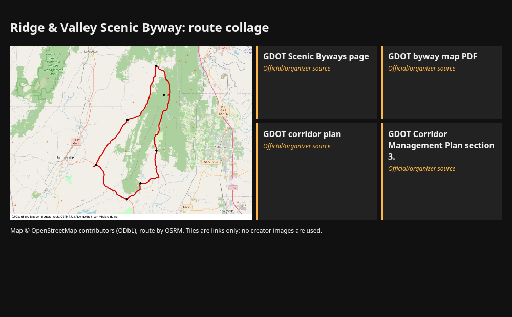
Route collage
Sources
- GDOT Scenic Byways page: source
- GDOT byway map PDF: source
- GDOT corridor plan: source
- GDOT Corridor Management Plan section 3.1 (official turn list, 51 mi loop): source
Credits
- map.png: our render, © OpenStreetMap contributors (ODbL), route OSRM.
- Link tile: GDOT Scenic Byways page. Link only. Using their thumbnails or frames would need creator permission.
- Link tile: GDOT byway map PDF. Link only. Using their thumbnails or frames would need creator permission.
- Link tile: GDOT corridor plan. Link only. Using their thumbnails or frames would need creator permission.
- Link tile: GDOT Corridor Management Plan section 3.. Link only. Using their thumbnails or frames would need creator permission.
Map © OpenStreetMap contributors (ODbL); route drawn with OSRM. Videos belong to their creators. Always check roads and conditions before riding. Status: Verified route.